
From Guna Pani to Fual Pani
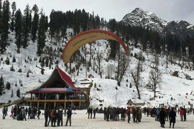
The day began with a clear blue sky. Everybody had hope that things are getting better today. By seeing the weather condition, the camp leader fixed the time for starting the next part of the trek to reach Fual Pani a little late. We had enough time to spend taking photographs of the beautiful nature around us. Finally, after the routine jobs like morning tea, break fast, lunch pack etc... our call came for starting the trek. Almost all kept their camera outside unless like the one happened during the previous day where due to rain most of the trekkers didn't venture into photography. The OM peak was clearly visible and became the center point of attraction for professional photographers. There was a thin layer of cloud pattern over the Himalayan mountain range and gave a very scenic look.We started the trek at 10.20am. Initial part was a little tiring because of the steep hills. No view of surroundings as the place was covered with trees. In between we used to see the camp site of Guna Pani. We moved slowly and none of us faced any problems and everybody gained confidence. Many local village ladies and girls were on their work. Porter was available in this area too. Just like other areas of Himachal, these people here too were co operative for taking photographs, they didn't object. Few of us offered some snacks and articles to kids. Kids of Himachal Pradesh are very cute and charming. We had tough time with our guide in this part of trekking. He was very tough and stubborn. He wanted all of us to reach Fual Pani as early as possible. That made the group to rush in the trekking while enjoying the nature. He was harsh if somebody goes against his instructions. We had to salute him for his stamina. We were moving only in one direction where as he used to go till he finds the first person and comes back to the last person to confirm whether all are safe and following the queue. He used to shout on a person who delays the trekking for any reason.
Around 11.00am we reached a plain ground which is just gorgeous. For the first time, everybody in our group sensed the beauty of Himalayan range in the dense forest and valleys. Finally Mother Nature showed her beautiful side to all of us. That was the rest point for us. Butter milk and snacks were available. The tent was arranged by some local people just like in other areas. While many trekkers took rest here, most the people took out their camera and shot almost all kind of picutres. The light was very good and the sky was reasonable clear with a little hint of clouds. We were almost nearer to the glacier which was visible from Unchdhar where we got down from the bus. Some slept for a while. Some took the details of the area from the guide. He was very co operative in this aspect.
After 15mins of rest, we continued our trekking. This part was very easy just passing through a plain ground. But there was nothing interesting in the initial part but for some beautiful birds. We could not catch these birds in our camera as those were very fast. Very soon, around 11.30am, we reached a place which made everybody spell bound. The place was too scenic and nobody has any words to explain. The environment was very pleasant with bright green around, some huts here and there, some crops in between, valleys around, view of snow capped mountains, ohhh it was just stunning. The place was just like a dream for any artiste to sit and make images. We had to take a half circle around the ground and proceed further to reach Fual Pani. We had to descend a little here passing through the huts. Many of us took rest in between inspite of the guide shouting on us to move. We didn't know that there is one more rest point here. When we reached the ground one more tea point was found. Most of the photographers reached the place late and so had less time to take rest. By the time we reached, already trekkers who reached early left the place. We reached this point at 11.50am. Tea, snacks were available. This was our lunch point. Everybody opened their lunch pack and had their food. The local girls were very beautiful and many photographers took portraits of them. In front of the tea point, there was an area where some crop was grown and a beautiful spot for photography.
We took rest for 15mins and continued the trekking at 12.05pm. After Guna Pani there was no electric power available. The main fuel used is dead wood only. The ground was very huge and we had to take a circle around and proceed into a valley. It took 30mins to complet and circle before entering the valley. There was a small water stream which we had to cross. It was rocky and easy to cross. As per the guide this was the most difficult part to cross during starting days of Sarpass trekking schedule as the water flow was more. Our guide started cautioning us about the weather forecast. Within no time the clouds gathered and there was a threat of rain soon. We didn't get the depth of difficulty until we entered the valley area. We entered the valley around 1.00pm. Suddenly drizzling started. Many managed with the jerkin and others took out the rain sheet and put it over the head. The left side of the valley was too steep and scary. The sand became slippery because of the rain. We sensed the dangerous situation we were in. Any slipping into the left side makes one getting vanished in the valley. All our cameras went inside the bag. Many hobbiest had real photography experience in the wild. We had to use one hand holding the stick and other hand supporting and holding the plants to avoid slipping. Many slipped and fell but fortunately nobody had any accident. We had to descend a little and in between steep climbing. On the way we came across one tea point (at 2.30pm) but we were not allowed to take rest as we had to rush to Fual Pani. It took quite a long time to reach the next rest point at 3.00pm. Not much of photography was possible in this area. The rest point was a small area inside thick forest with huge trees and rocks.
After 5mins we had to continue. Fortunately rain stopped. Though we got relaxed, very soon we realized that the next part is going to be more tough. We had to climb a steep valley. For the first time, we came to know the difficulties in trekking a steep hill. We had to climb a little and take rest for a while and continue. The journey became further difficult because of few trekkers who didn't have any previous experience. We had to stand in an inclined position to balance the load at the back and the gravitational force due to steepness. The stick helped a lot to get support. Some had nightmare experience here and used both legs and hands to climb the valley just like crawling. It was a real test for our fitness. After the tough trekking for 45mins we reached the next tea point. This area was dry and didn't get affected from the rain we saw earlier. We had 20mns of rest here as we got tired too much. We further continued our trekking after tea and snacks. All of our water bottles became empty. Next part of the trekking, though not steep, it was difficult because of the narrow path and fallen trees. We had to go through a small cave like area. The trees were so huge, one could not see the tip of those. Exactly at 4.15pm, we saw the welcome banner of YHAI welcoming the trekkers to Fual Pani. Another 2mins of trekking, we saw the second higher camp site Fual Pani.
This article is written by go2india.in team.
Your Rating

Tweet